

After researching for our articles on Geographic Information Systems (GIS), an idea came to us: why not ask our questions directly to those who create these maps?
GIS is about connecting data to a map. Every organization has different needs: from knowing what infrastructure has been impacted after a natural disaster, to picturing what area needs access to clean water.
CartONG is an international NGO based in France, specialized in mapping and data management (“carte” is French for “map”). Here is the video of our discussion, and a snippet of our conversation:
“Static maps and data sets can help organizations better coordinate their work on the ground and make informed decisions.”
TSF: Can you tell us more about CartONG, about your vision, about your missions?
CatONG: CartONG is an international NGO specialized in mapping and data management. We can produce static or dynamic maps, datasets and these products can help organizations better coordinate their work on the ground, evaluate the impact and also make informed decisions on the project.
“The location is always a recurring question for everyone.”
TSF: In your experience, in which areas is there the greatest need for digital mapping and data analysis?
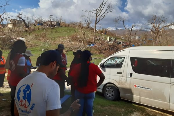
CartONG: Whatever the type of humanitarian crisis, the location is always a recurring question for everyone. Those for which we see the most impact are the natural disasters, with impact both on people and infrastructures.
In this complex context, GIS and remote sensing can really quickly provide data and special analysis on the impacted areas and then answer many questions such as where are the affected people, how to reach them, what are the constraints in the fields, like logistical constraints, security constraints, etc.
“We try to make sure that organizations and communities can really take ownership of the solution that we put in place without skill limitation.”
TSF: What are the main challenges that you face in your missions?
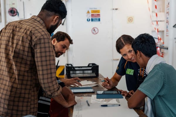
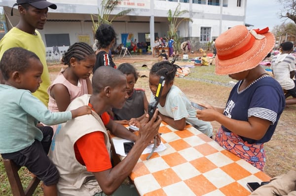
CartONG: We still work on many areas that we can call blank areas, whether there's no or little data available. In this case, this means that we have to create the data.
We can also do it using crowdsourcing, with OpenStreetMaps. So this is, for those who don't know, a bit like the Wikipedia of maps and it's based on the huge community of volunteers around the world that contribute and create data, digitize roads, rivers, et cetera, all over the world.
We will try to make sure that organizations and communities can really take ownership of the solution that we put in place without skill limitation and that at the end we just ensure that the project will be more sustainable.
Want to learn more about humanitarian mapping? Watch CartONG’s video on the topic here.
Watch the full interview on Youtube:

Member discussion