Welcome to issue 10 of the Call to Comms!
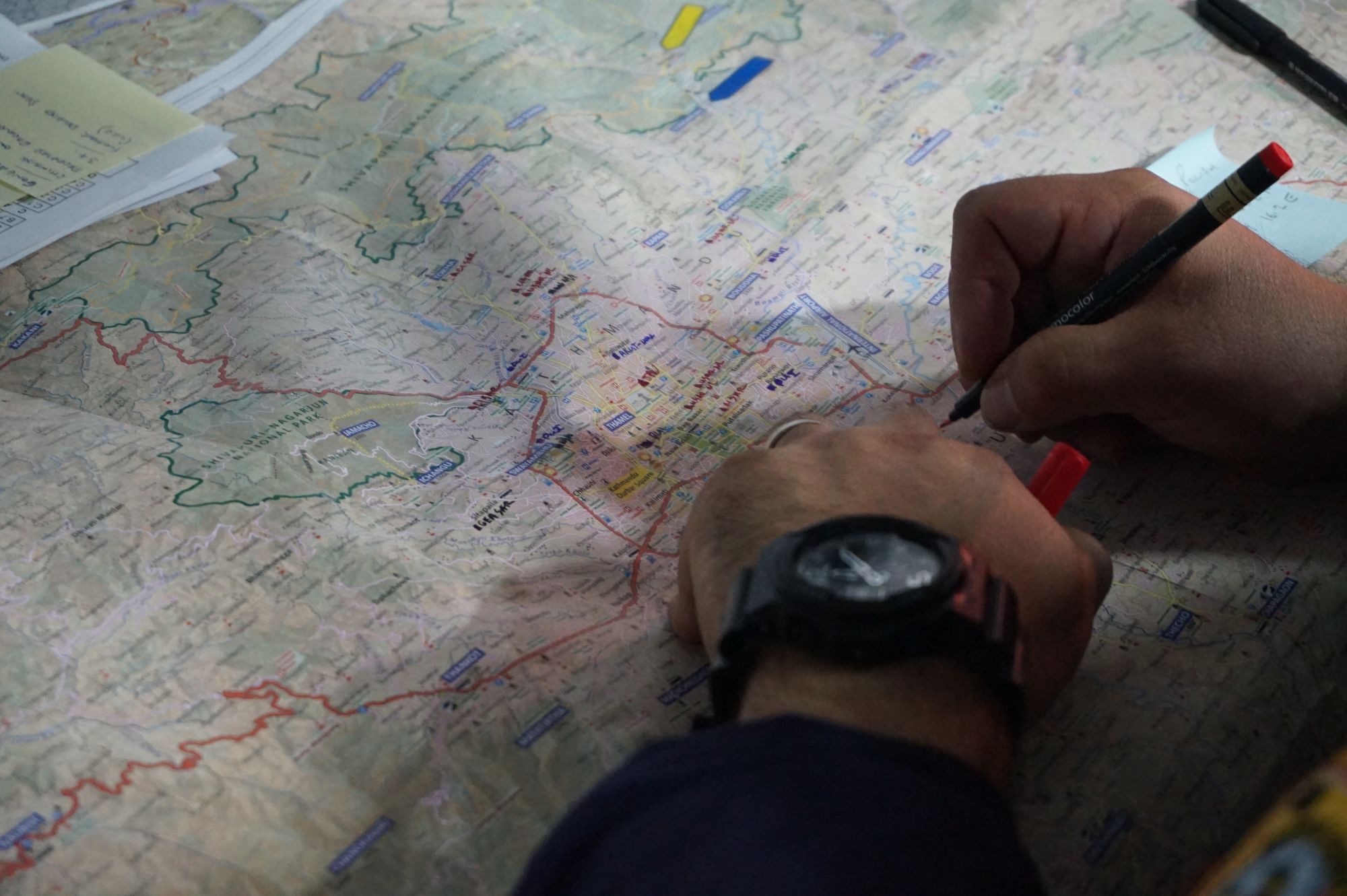
How do humanitarian organizations identify affected areas? How do we pick which road to take after a natural disaster? One tool we use is geographic information systems (GIS). But what is it, exactly? Also this week: digital mapping has allowed Japan to discover that it has 7,000 more islands than it thought!
💬 In this week's issue:
- What is GIS and why it’s essential for humanitarian NGOs
- 7000 new islands discovered in Japan’s archipelago
What is GIS and why it’s essential for humanitarian NGOs
"I found the Girls In Map training interesting because now I can know places before going there. I am still a beginner in the use of the internet and I already found a new skill. Even though I don't go to school anymore, I am still learning new things thanks to the internet and the activities of the ITCUP center.”
Olive, 16, participant in the Girls in Map event.
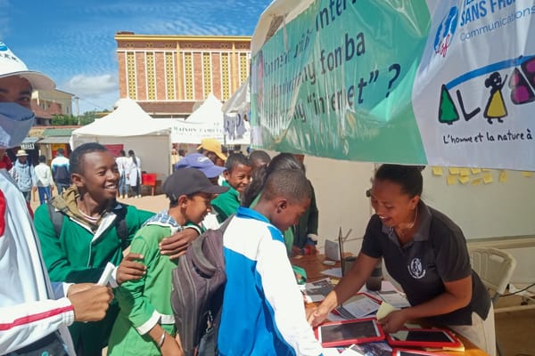
Earlier this month, the IT Cup Centre, opened by TSF in Madagascar, organized an event for girls to discover what digital mapping was. Digital mapping is a geographic information system (GIS). Basically, GIS connects data to a map.
For the general public, like Olive who participated in the Girls in Map event, it makes it easier to look up places before going there. For humanitarian organizations, it can make all the difference in our response.
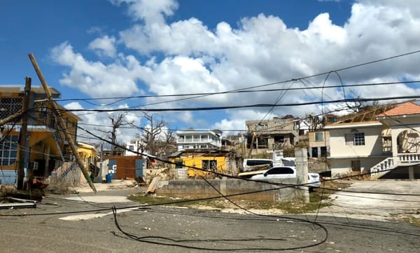
How do we know which areas will be most affected by a natural disaster? With data on soil moisture, building construction and the state of roads, humanitarian organizations can prepare, act quicker, and prioritize areas and communities that need it the most.
How does GIS work? What are the ways humanitarian organizations use it? Read more in our recent article:
🗞 Latest news from TSF, our partners, and the humanitarian and technological web
- The European Humanitarian Forum 2023 highlighted the importance of tackling humanitarian needs, addressing conflict and anticipating climate related crises. The forum had more than 800 participants, and also shared an ECHO policy on equitable partnerships with local responders in humanitarian settings.
- The International Rescue Committee (IRC) and the World Resource Institute (WRI) have released data indicating the 10 countries most at risk from climate disaster.
- Over a thousand Artificial Intelligence experts and leaders, including Elon Musk and Steve Wozniak, the co-founder of Apple, have written an open letter demanding that we press pause for at least 6 months on further developments of AI in order to better understand how to mitigate the capabilities and dangers of the likes of GPT-4.
- Cyclone-hit Vanuatu won a historic vote at the UN to ask the world court to rule on national climate obligations. The United Nations General Assembly voted to pass a resolution asking the International Court of Justice to define the obligations of states to combat climate change. This could drive countries to take stronger measures against it.
7000 new islands discovered in Japan’s archipelago
Much to the surprise of many, not least the inhabitants of the Land of the Rising Sun, the Geospatial Information Authority of Japan recently discovered they had twice as many islands as previously thought - taking the total to around 14,000.
The last time the count was made, some 35 years ago by the Japanese Coast Guard, digital mapping was not really a thing. Back then, the technology of the time was unable to distinguish between larger individual islands and small clusters of island. Thus they simply became one island.
But the archipelago of Japan is often struck by natural disasters including earthquakes, floods, and eruptions of volcanoes. In fact, it’s these volcanic eruptions that are responsible for the creation of many of the new islands - only recognised if they are 100m or more in diameter. Thanks to AI technology and digital mapping, it is now possible to predict the potential impact of a disaster before it occurs, allowing aid agencies to pre-position supplies and resources in the most vulnerable areas.
The Law of the Sea states that ‘An island is a naturally formed area of land, surrounded by water, which is above water at high tide’ - a rule that hasn’t changed since 1987.
But this updated map of Japan, has significant implications for humanitarian work and climate change efforts. With the advent of AI technology forging a new path in the world of digital mapping techniques, it is now possible to identify and monitor the impact of natural disasters on a much larger scale than ever before.
See you next week!






Member discussion